50% OFF, Save $75
15 lessons
Infrastructure · All levels
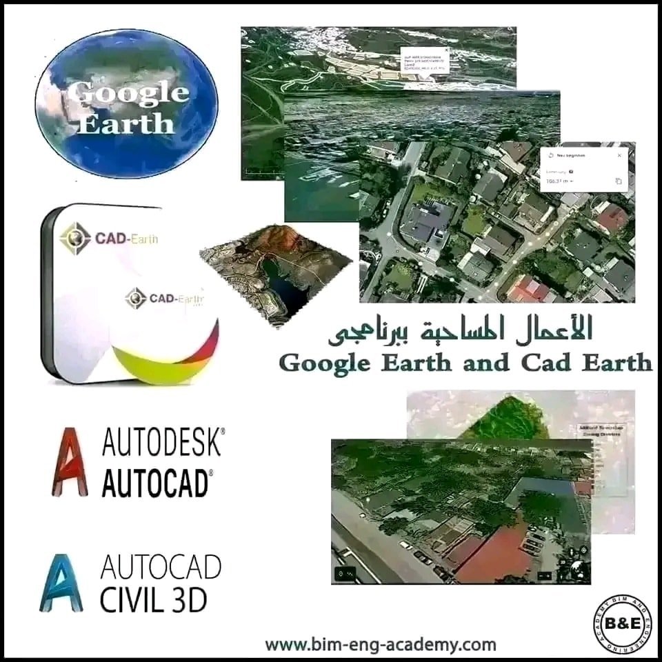
Surveying Works with Google Earth and CAD Earth”
The course is suitable for third- and fourth-year students in civil and mechanical engineering, surveying and architecture, all engineers working in water resources and the environment, and anyone interested in water, infrastructure and surveying works
How to professionally import survey data and high-resolution imagery from Bing maps, Google Earth and other open sources into a CAD environment such as AutoCAD and Civil 3D, in order to extract contour lines, draw longitudinal profiles and cross sections, georeference maps to their locations and edit them, and pull survey data for models from Google Earth Pro and export to it. All of this is done through CAD Earth, which integrates into the AutoCAD or Civil 3D environment. No prior experience with these programs is required from the trainee. The course is very useful for preliminary studies and preliminary designs of projects, is also useful in designing many infrastructure projects, and helps complete missing data in any infrastructure project.
The course consists of high-quality recorded videos that you can watch at any time that suits you and download to your device at any time, and they stay with you. Not only that: there is also a technical support team to answer your questions and inquiries at any time, for life, not just during the course period
CAD Earth, AutoCAD, Civil 3D, Google Earth Pro.
What the Participant Gets
At the end of the course, the participant receives a certificate accredited by the Academy
Chat with us on WhatsApp
Open WhatsApp app