50% OFF, Save $75
15 lessons
Infrastructure · All levels
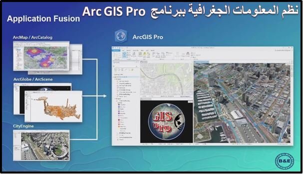
” Geographic Information Systems with ArcGIS Pro “
This course is very important for all road, surveying, infrastructure, architecture, and planning engineers, and it is taught on the latest version of the software so we keep up with the latest updates
The course is suitable for students from the second year onward in civil engineering, architecture, surveying, and infrastructure, as well as master's and PhD students and anyone interested in GIS
The course starts from zero with the fundamentals of GIS, then moves on to installing the software, covering its basic settings and how to adjust them, and introducing the software tools through written and video lectures. Then it covers the theoretical principles of the projection and georeferencing used in surveying software and ArcGIS Pro, followed by projecting satellite and scanned maps. Then you learn how to produce final map layouts and prepare them for printing, followed by the analysis tools with practical examples, then the integration between different surveying programs such as ArcMap GIS – Excel – AutoCAD. The course ends with a real applied project so you gain practical project experience.
Course follow-up system: The course consists of high-quality recorded videos that you can watch whenever it suits you and download to your device at any time, and they stay with you. On top of that, a technical support team is available to answer your questions and inquiries at any time, for life, not just during the course period
What the subscriber gets: 1. A fully activated copy of all the software used 2. A copy of all course videos, activated for life 3. A copy of all working files 4. A copy of the training projects + explanation files. At the end of the course, the subscriber receives an accredited certificate from the academy
Chat with us on WhatsApp
Open WhatsApp app